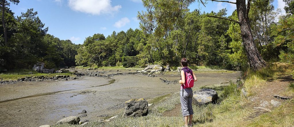
Discover the GR34 The Customs Trail in Brittany to capture the spirit of the region using the coastal footpath.
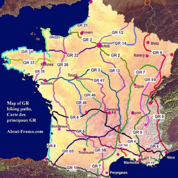
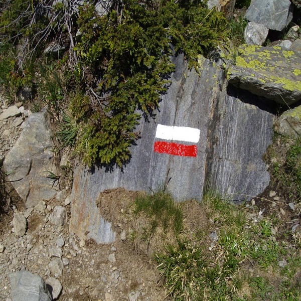
From coasts to mountains and all over the territory, there’s a dense network of hiking trails in France! Among these, the famous “GR” are the longest ones and often the most prestigious, GR meaning Grande Randonnée (long trek). Some of them cross the country from one border or one side to the other, reaching sometimes the distance of 1000 kilometers and more! Most of the people only do a small portion of them, hiking for a couple of hours to a couple of days. But this can be also the adventure of a life time to hike on a GR from one end to the other from four to six weeks! Among the most famous (and toughest) ones: the GR20 in Corsica, the GR5 in the Alps, the GR10 in the Pyrenees…Just follow the marks with a white strip above a red one…If you see a cross with these colors, it means you’re heading the wrong way!
The GR34 or the customs trail, is the most well-known of France’s coastal paths. It was voted “Favorite Trail” by the French in 2017.
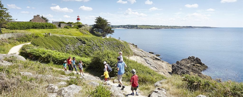
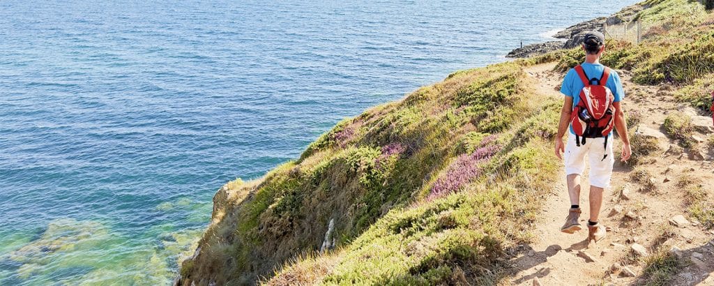
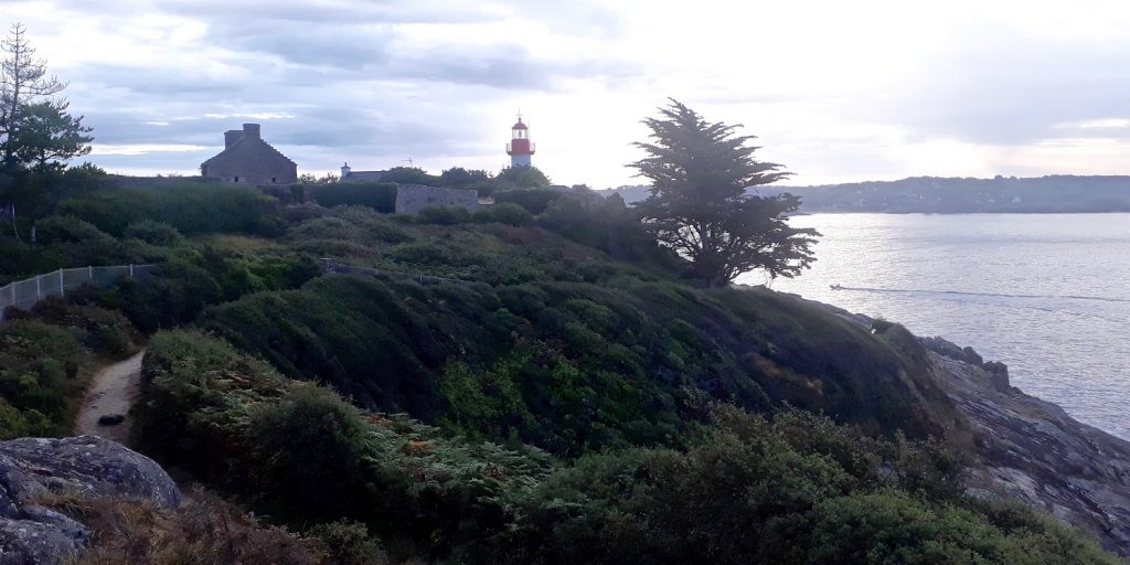
From the Bay of Mont Saint-Michel in the English Channel to the Pont de Saint-Nazaire in Loire Atlantique, the GR34 travels 2000 km along the Breton coast without ever leaving sight of the sea. It is both one of the most emblematic French long-distance hiking trails and one of the most maritime. It is also a path full of history that winds its way along the coast and explores the Breton heritage in a breathtaking natural setting. Walking along the GR34 is one of the best, if not the most invigorating, ways to capture the spirit of Brittany as it travels from the Emerald and Pink Granite coastlines to the Gulf of Morbihan, via the Abers coast on the tip of Finistère and the coast of South Finistère. This was once a path that allowed customs officers to do their jobs and travel along the coast to prevent smuggling now it is a peaceful hiking trail frequented for the beauty of its landscapes.
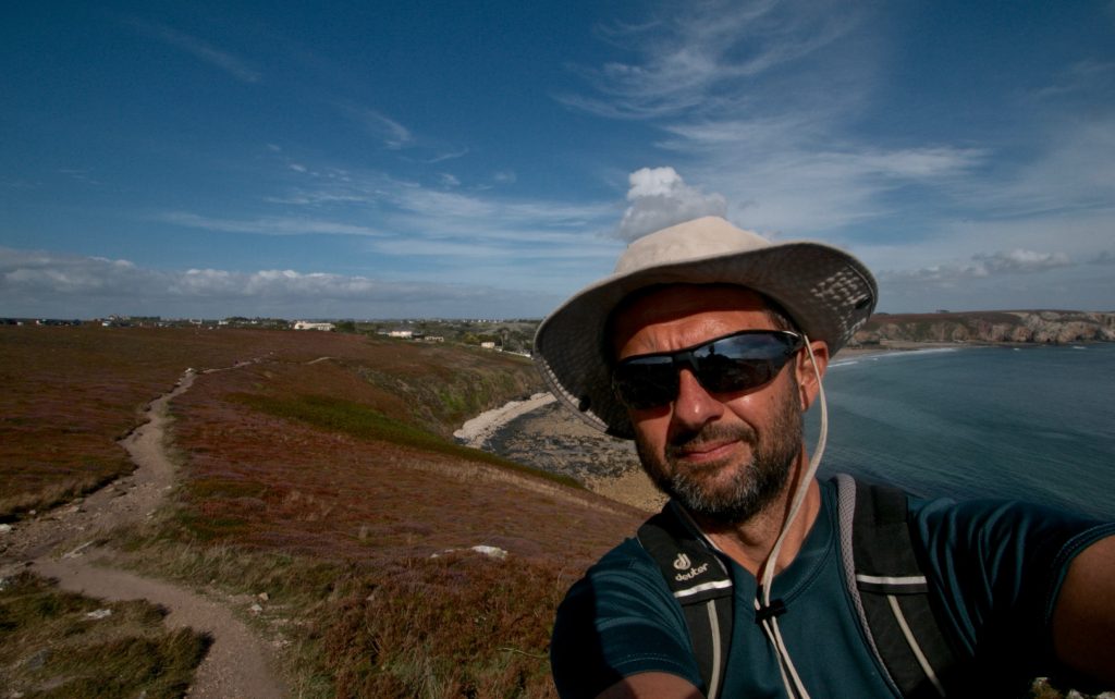
Ok, I won’t be a liar, saying that I know this very long path from one end to the other, but I had the pleasure to explore two sections of it on my recent summer holidays in Brittany, and I’m happy to share my impressions about it!
The first section is between Cancale and Saint Malo, where the trail follows the famous Emerald Coast, that runs along the north side of Brittany. It’s named after the sea’s emerald colour. The distance is around 32 kilometers and I made the choice to run it with a light camelback pack, making some frequent stops to take pictures with my smartphone and Go pro camera. It took me around 4.5 hours, at a cool pace with many stops. The total ascent is no more than 250 meters, so it’s accessible to running beginners on a half day, or to hikers on a full day with a refreshing pic-nic.
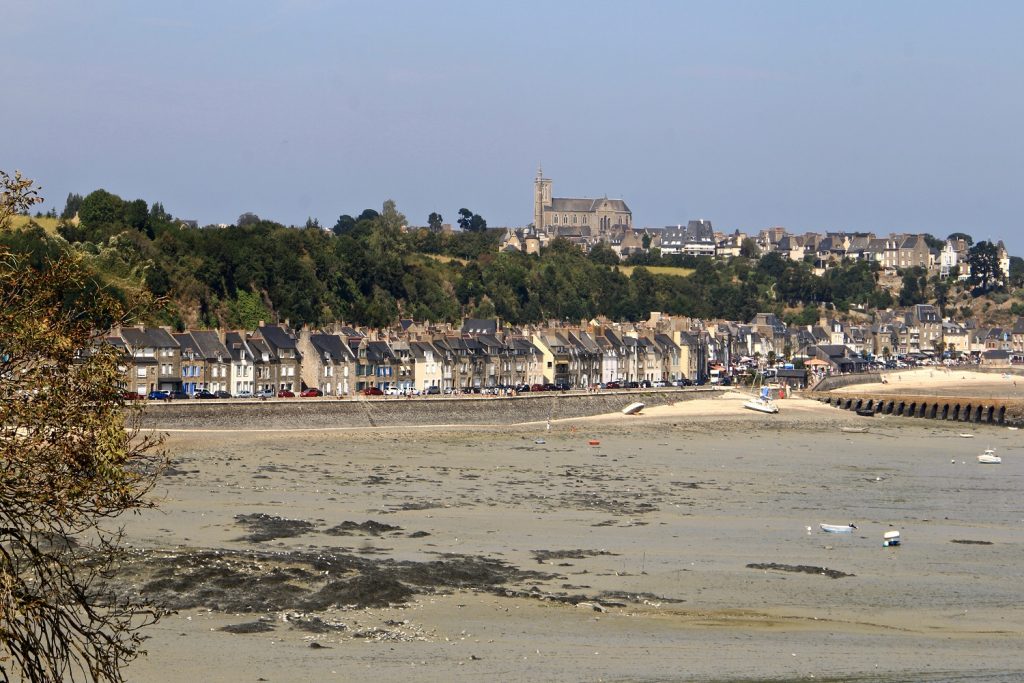
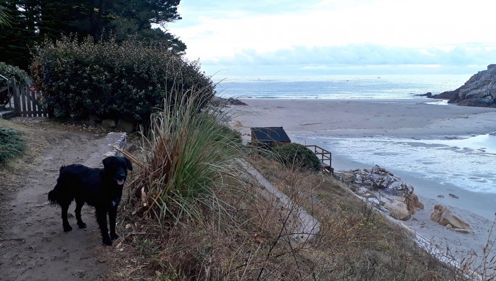
I started at the waterfront of Cancale, among the numerous tourists who were here having a sip of cider and eating a “crepe” at the terrace of a café (so did my wife and 2 teens), or tasting a dish of oysters directly at the stands of farmers. Not a good idea for me before a strong physical effort! So I said good-bye to my family and started off. The path begins with a short ascent, then is relatively flat until it reaches the famous Pointe du Grouin, the northern extremity of the Emerald Coast. There I met my wife again, with the kids and my dog, the latter being definitely upset not to follow me on that adventure…There’s a small island on the eastern side of the Pointe du Grouin, called the Landes Island , which is a bird reserve.
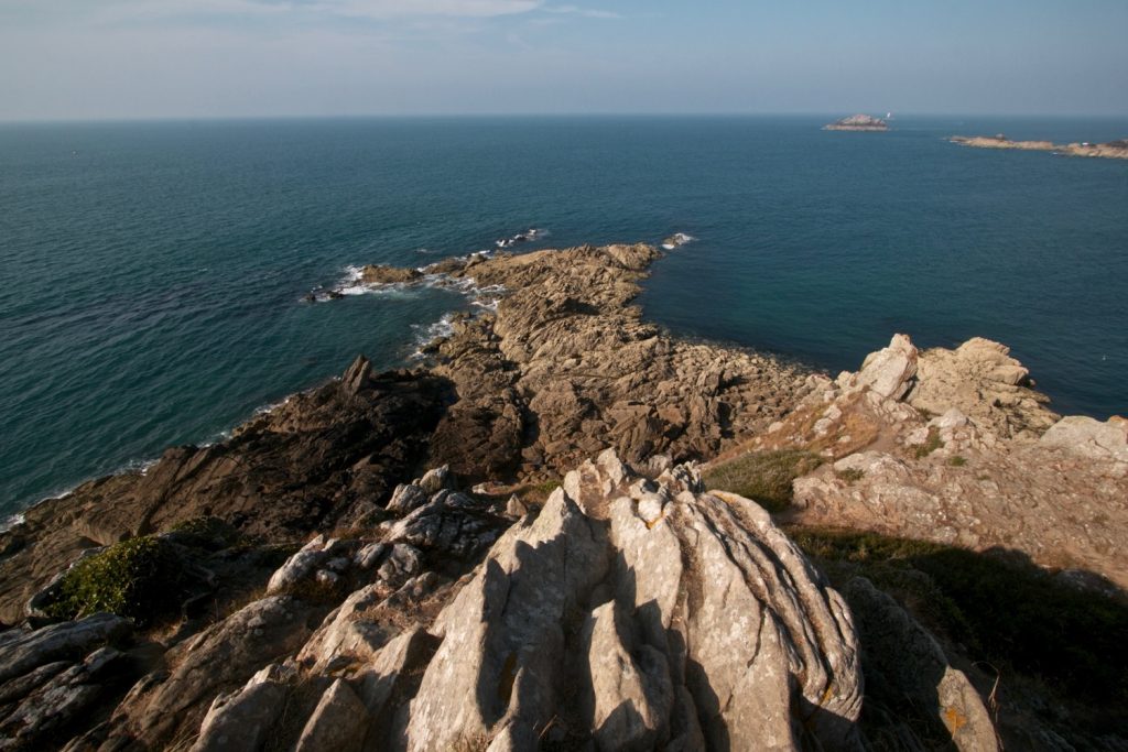
The following portion until the Pointe du Menga is really gorgeous, with magnificent and varied landscapes. It’s quite rocky and a succession of short ups and downs, so I had to pay attention to where I put my feet, as the path sometimes follows the edge of cliffs and can be a bit impressive for people who’re scared of heights. There are some small but nice caves dug into the rocks like the Fairy Cave or the Nestle Caves. There’s also a small island called Du Guesclin Island, with a renovated but still impressive fortified castle. I crossed a few beaches that were almost deserted…and met my family for the last time at the Plage du Verger, but I refrained from having a swim, as I hate to run or hike with my skin dried and roughed by the salt of the ocean!
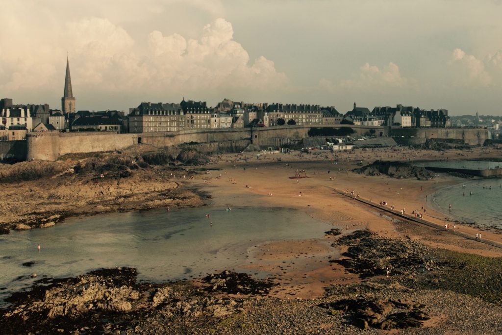
Then I started to enter the area of Saint Malo. Here the GR34 is much less wild and peaceful, as there are many parking areas that make it accessible very easily and quickly for anybody. But Saint-Malo is definitely a charming city, though very touristy, and the trail runs along the famous ramparts and city center beaches such as the Plage du Sillon or the Plage Bonsecours. The latter offers a natural pool at low tide, as the water of the ocean is captured in a rocky basin. I ended my trail running session here, tired but really enchanted by this immersion between the land and the ocean, with, most of the time, only the wind and waves in my ears and sight.
This second 35km section is in the department of Finistère, the more western part of Brittany, Finistère meaning “where the land ends”. I did not hike or run it at once, but explored it by small portions alone or with my family, and though it’s less impressive and majestic than the Emerald Coast, I would say it’s more intimate and bucolic, as you cross some beautiful small, traditional harbours and hidden coves all along the way.
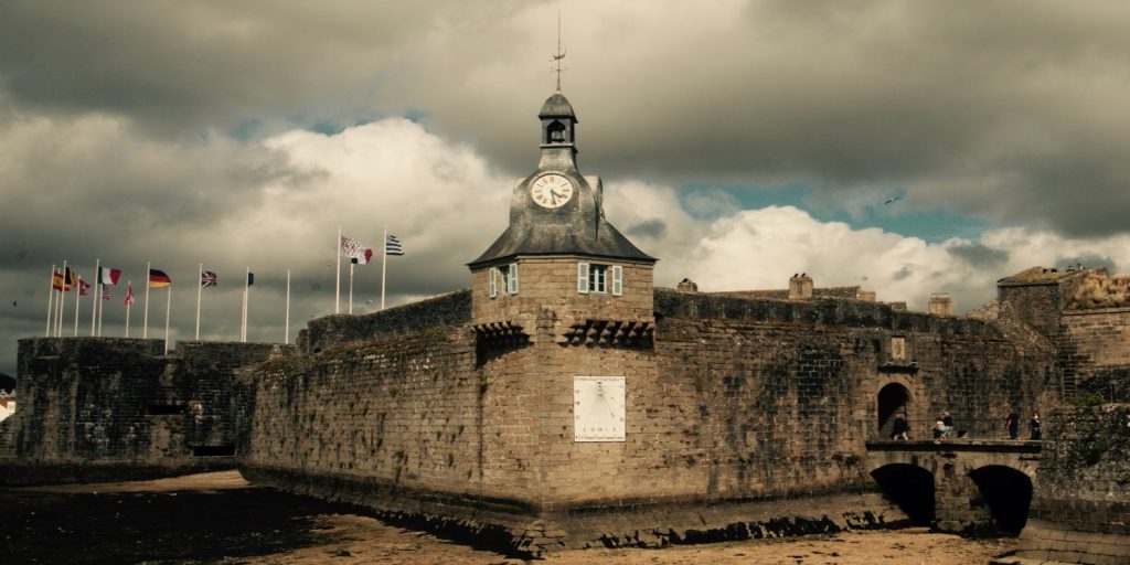
First take the time to visit Concarneau and its old city inside the ramparts, before heading to the lesser known Pointe de Trevignon. On the way you cross an ornithological nature reserve classified as Natura 2000 in Trégunc which offers a 6km walk on the beach, in the dunes and around the ponds. Ideal for nature lovers!
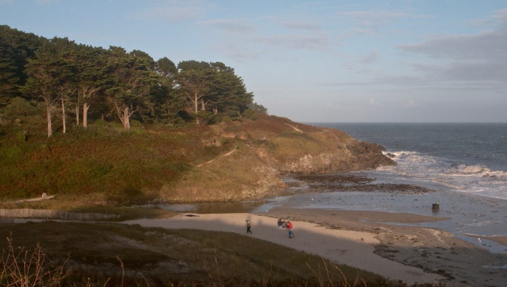
With its little fishing harbour, the Pointe de Trévignon offers a splendid viewing point. It is said to be one of the best spot for sunsets…when the view is clear and there are no clouds on the horizon of course! Unfortunately, we did not stay around long enough to have these perfect conditions…
Follow your way to the beach of Raguenez. We stayed two weeks in Nevez, the small village close to Raguenez, and we loved that beach, as it often offers medium size waves that were perfect for my teens and allowed them to practice body surf. There’s also a picturesque island that we explored by foot at low tide. Just next to Raguenez, the small beach of Tahiti is ranked among the 10 most beautiful beaches of Brittany, with its white sand and crystalline water! And so is the Cove of Rospico, just a couple of kilometers further. On the way, don’t miss the opportunity of leaving the coastal path for only a few hundred meters and explore the traditional village of Kerascoët and its tiny thatched roof houses.
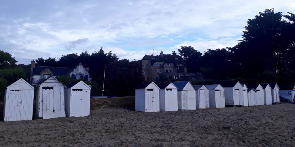
Still 30-minute walk after the Cove of Rospico, Port Manec’h is located at the mouth of the Aven and the Bélon rivers. I discovered this small harbour on my first trail running session in this area, just at dawn, and it was really spectacular! This little peaceful hamlet was “the place to be” at the beginning of the 20th century. With its adorable bathing cabins and its beautiful dwellings, Port Manec’h has kept its elegance and authenticity.
Here the GR34 leaves the coast, as it runs inland along the Aven river because there’s no bridge to cross the estuary formed by the two rivers reaching the ocean. The landscapes change and you enter some woods and forests, still crossing some hidden lovely harbours set on the river, such as Kerdruc.
Last halt before Pont-Aven, the Hénan woods is such a charming place with its tidal mill, the miller’s house, the arboretum, the three fountains and the Saint Marguerite chapel! My tip: just close to the tidal mill, there’s a local farmer who sells shellfish, mussels and oysters…This is a discrete and recommended address if you like seafood!
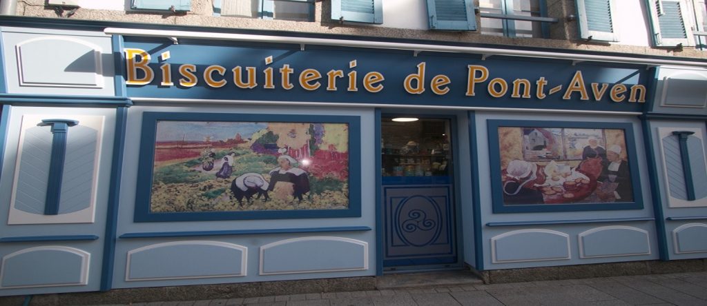
End your hike in Pont-Aven, the city of painters, with its port, mills and granitic block fields. Whether you’ve walked for 1 hour or 1 day, you certainly deserve a crepe or a piece of “kouign amann” an invigorating local cake made essentially with sugar and butter. “Bon appétit! “
Do not hesitate to have a look on our customizable itineraries in Brittany, such as our Road trip down the West Coast of France or our Best of the Northern Coasts in a week.
My tip: take at least 4 or 5 days to explore Brittany. This is a vast region, and apart from Saint Malo and the iconic Mont Saint Michel, there are countless lovely places that are out of the beaten track. Feel the breathe of the Ocean!
I hope you enjoyed this article about the GR34 The Customs Trail in Brittany. Read more about my work by checking out my previous article on the Best scenic rail routes in France.


